FVTs work smarter for faster, greater accomplishments for Project SPLIT
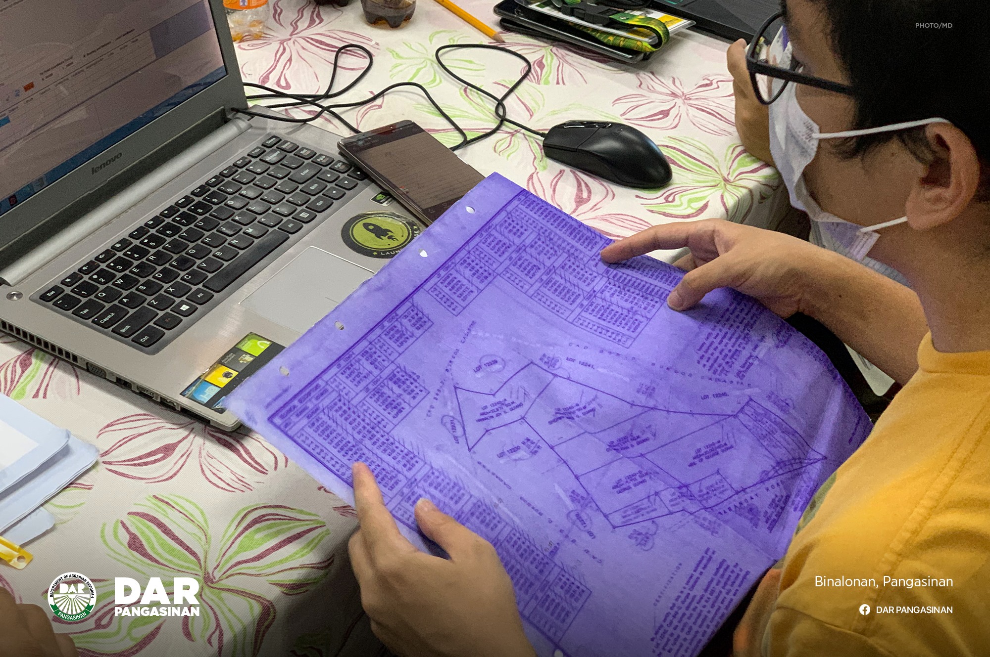
A geodetic engineer attempts to encode one landholding into the software, which allows them to plot a property in real-time.
BINALONAN, Pangasinan — There is nowhere to go but up for DAR Pangasinan's Project SPLIT field validation teams (FVTs). This month, as they journeyed to various towns to conduct community consultations, their geodetic engineers (GEs) attended a two-day seminar with the Provincial Project Management Office (PPMO) where they were given access to a computer program that may be used for encoding the technical descriptions (TDs) of a landholding. The software is also utilized by the Registry of Deeds for its database of properties.
The Encoding application produces an electronic copy of the landholding and allows GEs to plot a property real-time. Pertinent information such as plan number, dates of previous surveys, and local coordinates can also be stored with the plot. It takes about 20-30 minutes to encode the TDs for a piece of land that has more than ten sides. The program is seen to drastically reduce the time FVTs need for consolidating reports that they are required to submit to the PPMO bimonthly.
In his visit to the province, the Department of Agrarian Reform Ilocos Region Director Primo C. Lara urged GEs to continue giving their best for the timely implementation of Project SPLIT. He also reminded them to take care of their health and assured that DAR supports them as much as they devote their time to accomplishing tasks under the parcelization program.
"It is not the number that we are after, but quality and accurate accomplishments. The entire region thanks you," RD Primo said. (za) ###